
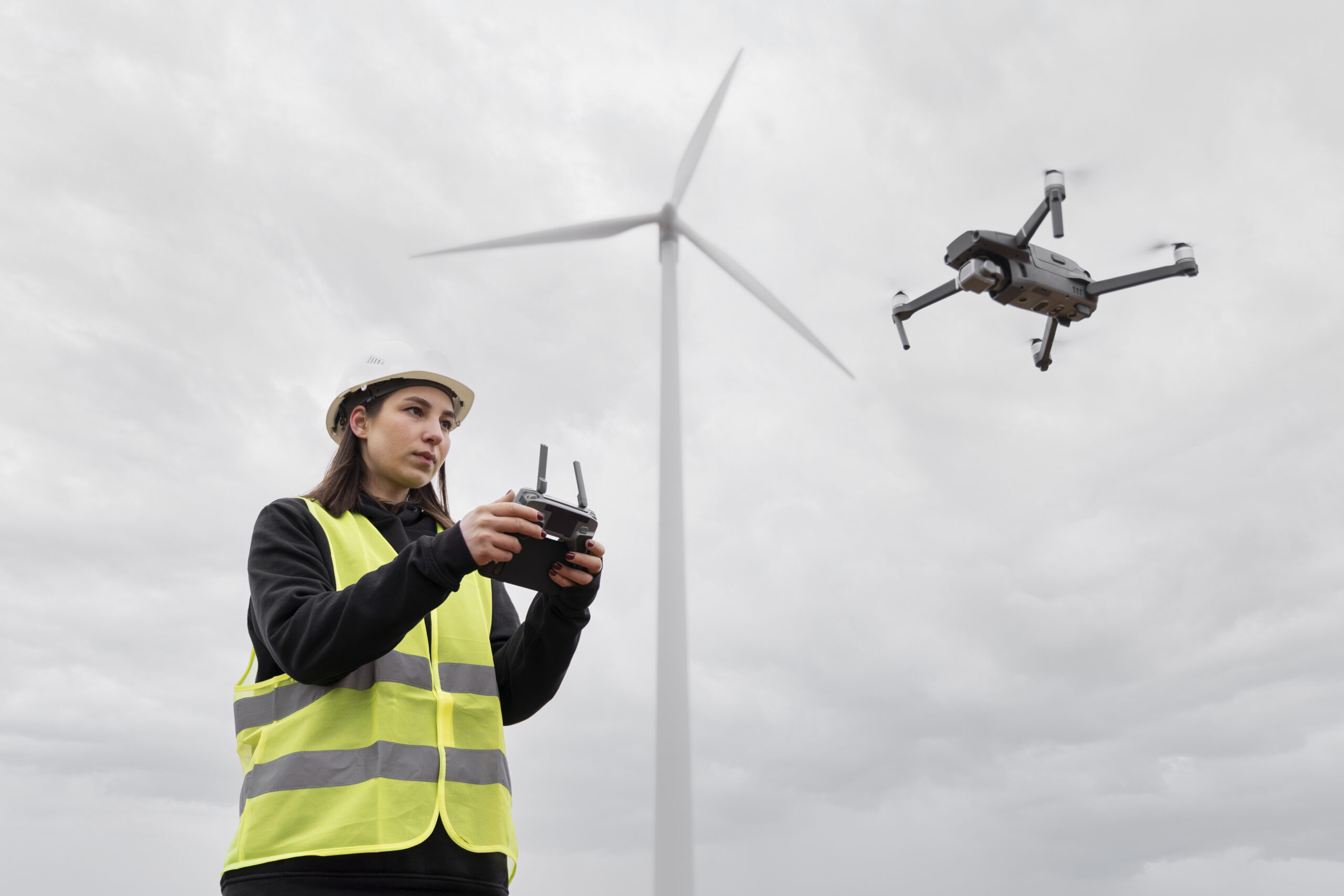
Drone-based Mapping and Analysis
In a world where efficiency, precision, and sustainability are fundamental pillars for the success of any project, having advanced technological tools has become an imperative necessity. Today, the use of drones has revolutionized the way environmental, urban, and social studies are conducted in large-scale projects. The ability of these devices to obtain high-resolution data, generate three-dimensional models, and perform real-time monitoring enables companies, infrastructure developers, and governments to make informed and strategic decisions.

At Area of Influence, Consultants, we integrate advanced remote sensing technologies with a transdisciplinary approach to provide comprehensive solutions in environmental, social, and urban impact assessments. Our drone analysis and mapping service is designed to maximize efficiency at every stage of the project, from planning to operation, optimizing costs and timelines while ensuring a higher level of precision in the collection of key information.
Benefits of Using Drones in Impact Studies
The application of drones in impact studies offers a wide range of benefits that enhance the scope and reliability of territorial diagnostics. Some of the most notable benefits include:
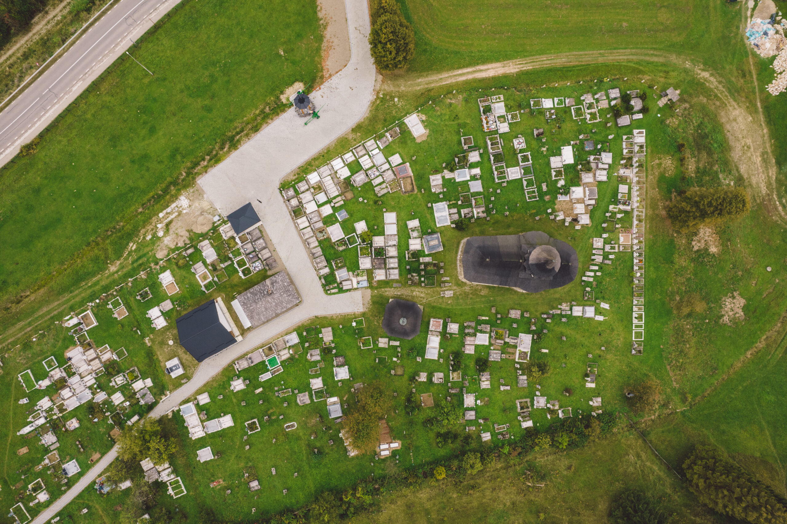
- High-Precision Data Capture
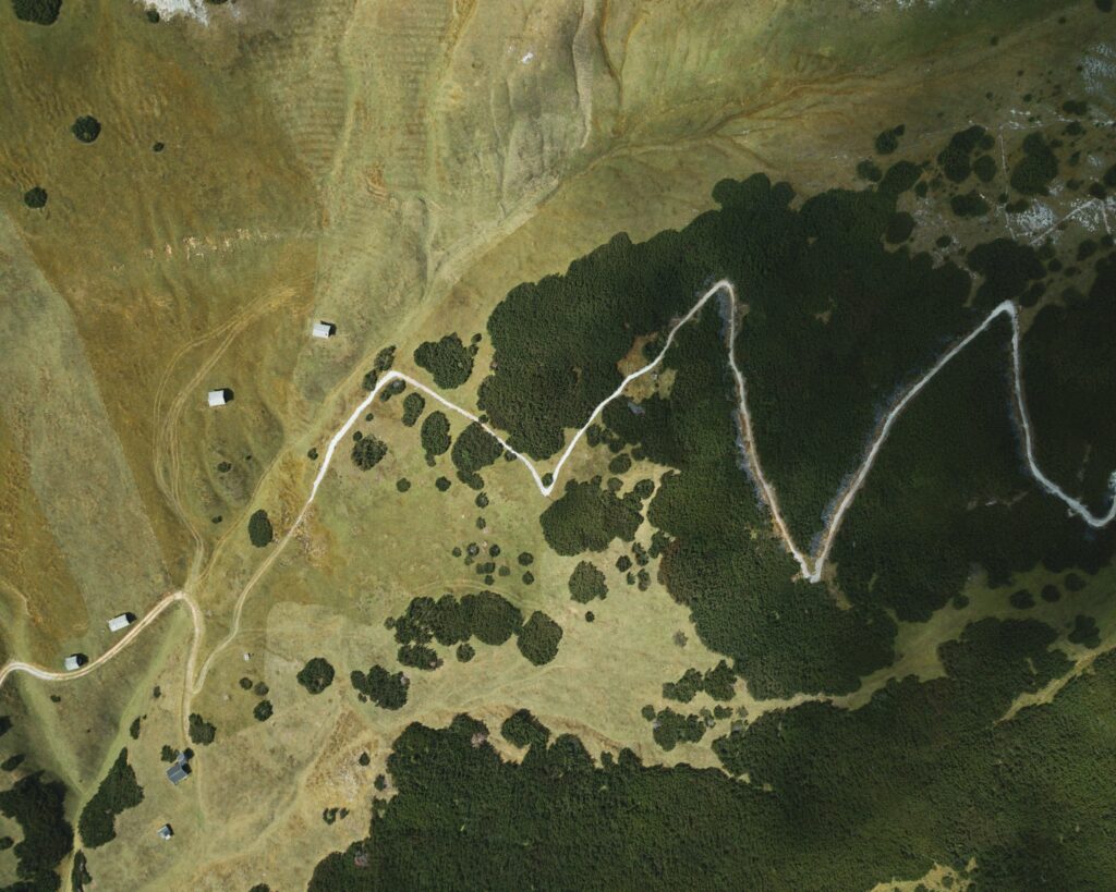
Drones enable the generation of orthomosaics, digital terrain models, and point clouds with centimeter-level resolution. This provides a detailed representation of the territory, facilitating the identification of geographic features, changes in vegetation cover, and potential impacts on sensitive ecosystems.
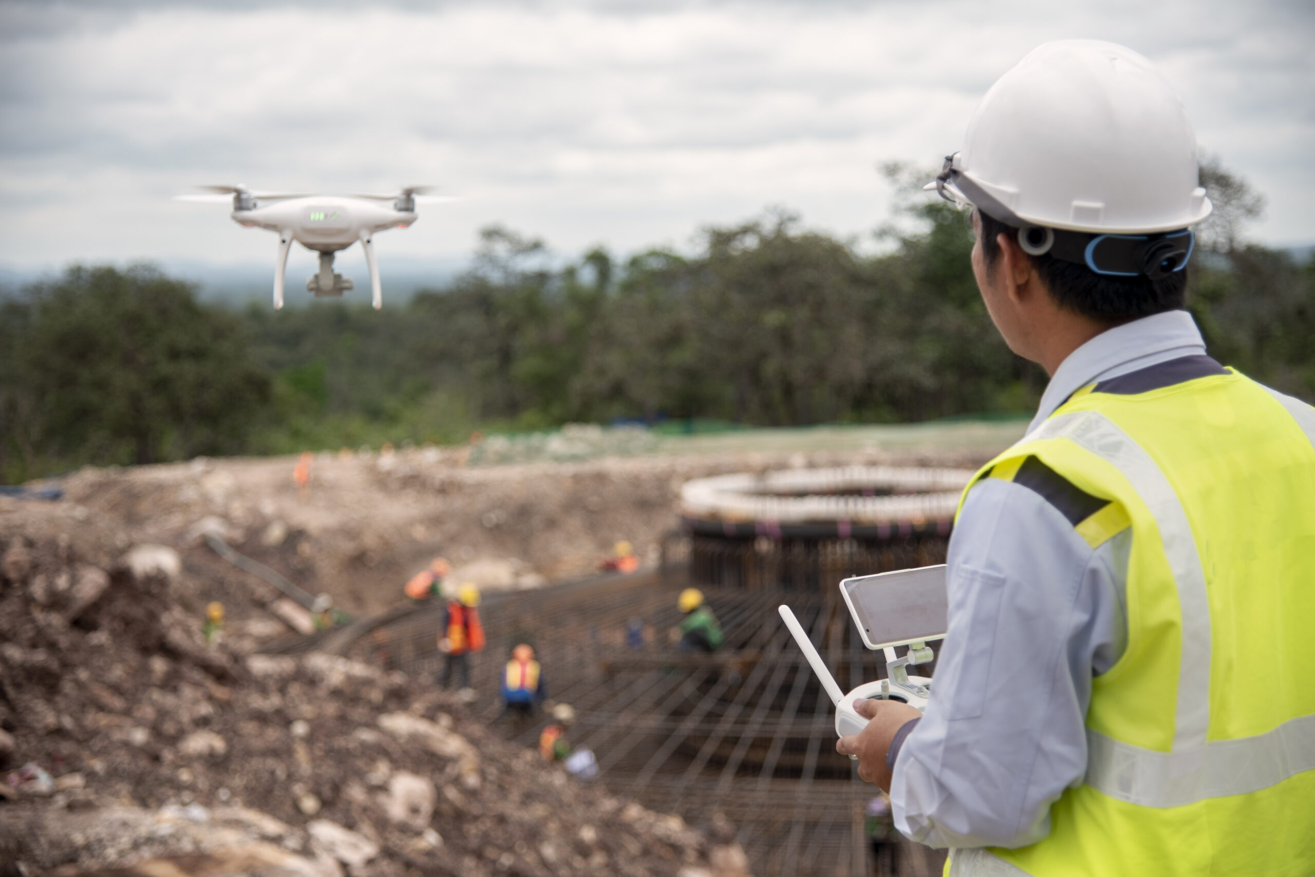
- Cost and Time Optimization
Unlike conventional topographic surveying and monitoring methods, the use of drones significantly reduces fieldwork time and operational costs. This is especially relevant in infrastructure projects such as photovoltaic parks, mining, hydrocarbons, and roads, where the study area can be extensive.
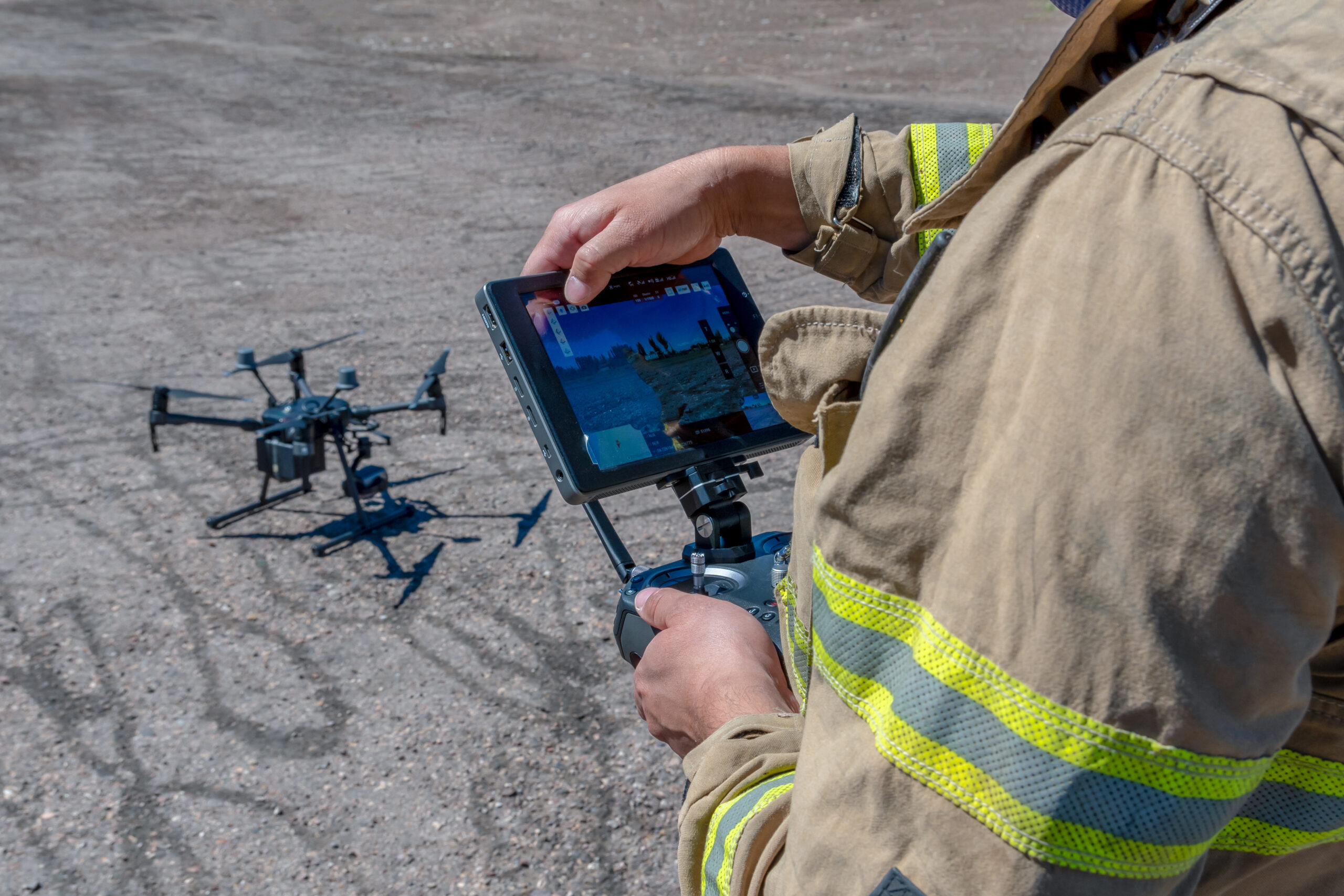
- Access to Hard-to-Reach Areas
Projects are often located in areas with restricted access due to complex geographic conditions or associated risks. Drones allow for the exploration and collection of data in these locations without compromising personnel safety.
- Environmental Assessments with Real-Time Data
Thanks to the integration of multispectral and thermal sensors, drones can detect changes in vegetation, identify water bodies, assess habitat fragmentation, and measure soil temperature. This is essential for evaluating environmental impact and establishing effective mitigation measures.
- Continuous Project Monitoring and Follow-Up
Periodic drone monitoring of a project allows for documenting progress, identifying potential environmental impacts, and evaluating compliance with environmental and social regulations. With the ability to capture high-resolution images and videos, the generated reports are more objective and detailed.
- Social Impact Monitoring and Community Consultation
Drones can be a key tool in social impact studies, as they enable the documentation of territorial changes that affect the quality of life of local communities. Complemented with interviews and consultations, the visual data obtained helps substantiate mitigation proposals and appropriate compensation measures.
Cutting-Edge Technology in Our Services
At Area of Influence, Consultants, we use high-end drones equipped with specialized technologies such as:
High-Resolution RGB Sensors: For generating detailed orthomosaics.
Multispectral Cameras: For vegetation analysis, soil moisture, and pollution assessment.
LIDAR (Light Detection and Ranging): For high-precision digital terrain models.
Thermal Sensors: For detecting temperature changes in infrastructure and water bodies.
The use of drones in environmental, urban, and social studies not only improves efficiency and precision in decision-making but also helps minimize negative impacts and optimize the relationship between projects and their surroundings.
At Area of Influence, Consultants, we specialize in the application of cutting-edge technology to ensure reliable results aligned with the highest sustainability standards. Our team of experts is ready to provide customized solutions that drive the success of your project.